Origins without a plan
The idea of a connected set came last. What came first were three distinct impulses, each rooted in a different moment in American conservation and land-use thinking, each shaped by a different coalition of advocates, and each shaped by different legislative politics. That they would eventually be spoken of in one breath was not foreordained.
The oldest is the Appalachian Trail. Benton MacKaye's 1921 article in the Journal of the American Institute of Architects proposed something closer to a regional planning instrument than a recreational footpath — a spine of open land along the eastern mountain chain, around which workers might escape the industrial city. The trail itself was assembled through the 1920s and 1930s by a network of hiking clubs coordinated by the Appalachian Trail Conference (now the Appalachian Trail Conservancy), and declared complete in 1937 when the final section in Maine was linked up. The through-line between MacKaye's theory and the hiked reality was never direct: club members did most of the assembly, and the result was a trail rather than the network of work camps MacKaye had sketched. The National Trails System Act of 1968 gave the AT statutory standing as one of the first two National Scenic Trails — the first formal legal category for a long-distance footpath in the United States.
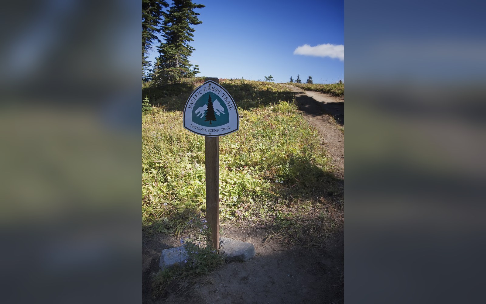
The Pacific Crest Trail had a different origin. Clinton Clarke, a Pasadena businessman, proposed a high route along the Sierra Nevada and Cascade ranges in 1932 and spent the following decade lobbying for it through an organisation he founded, the Pacific Crest Trail System Conference. Survey and scouting work — much of it done by young men through the YMCA — mapped possible corridors through the 1940s and 1950s. The trail received its own National Scenic Trail designation under the same 1968 Act that formalised the AT, but construction and rerouting continued for decades. The Pacific Crest Trail Association, which became the principal advocacy body, dates the first complete end-to-end route to 1993, when the final segments through the desert sections of Southern California were opened.
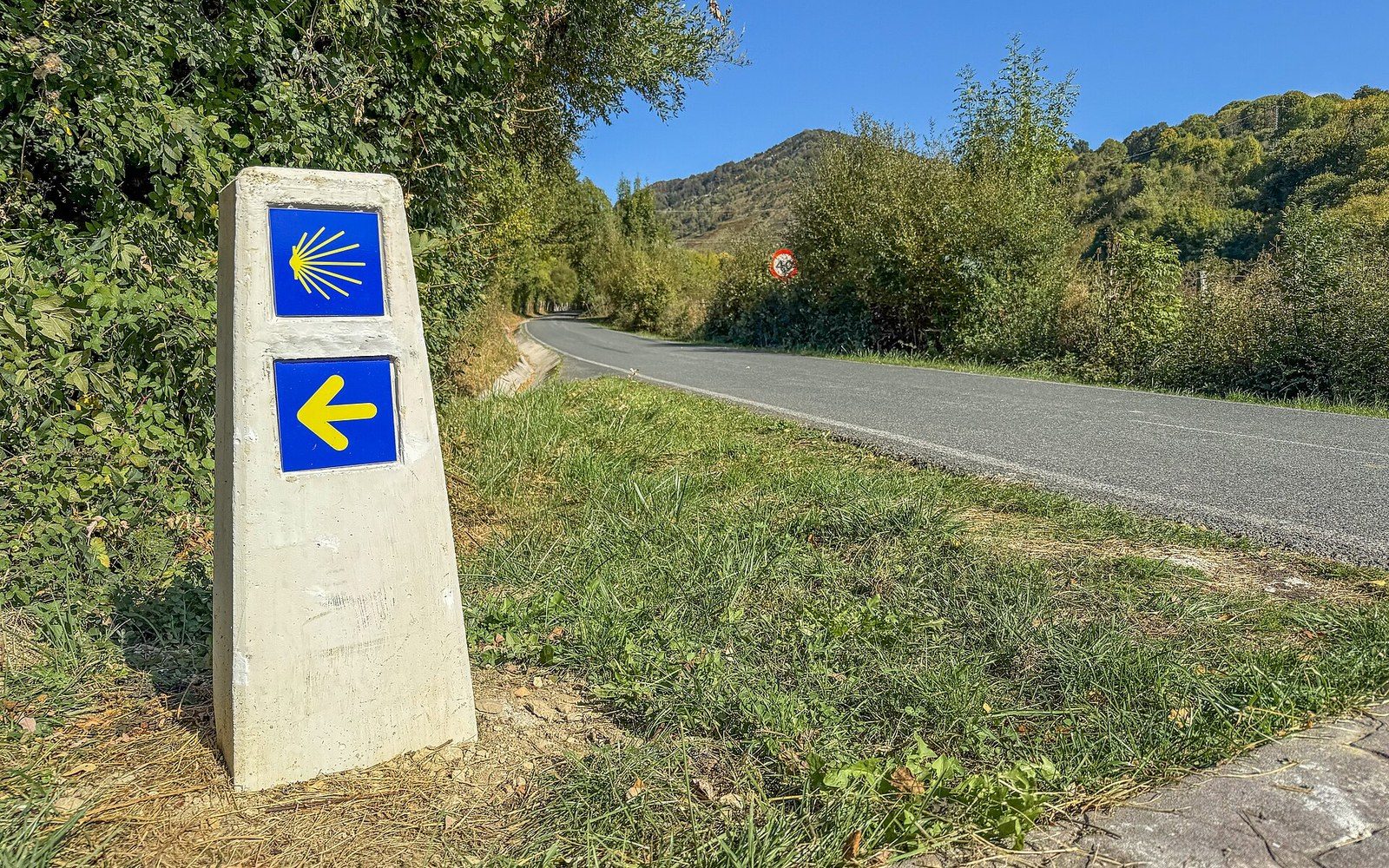
A waymarker of the Camino de Santiago near Erro, Navarre.
Photo: Waymarker of the Camino de Santiago near Erro, Navarre, Spain · Wikimedia Commons
The Continental Divide Trail is the youngest and the least finished of the three. Proposed in 1966 by Jim Wolf — a hiker who had walked long sections of the Rockies — and formally designated as a National Scenic Trail in 1978, it follows the Continental Divide from the Mexican border at Antelope Wells in New Mexico to the Canadian border at Waterton, Alberta. Its managing body describes it as still not fully complete even today, with significant sections requiring road-walking or the use of alternate routes. Unlike the AT, where the Appalachian Trail Conservancy maintains a single canonical tread, the CDT corridor is managed jointly by the Continental Divide Trail Coalition and multiple federal agencies across five states, and the trail has no single authoritative GPS centerline accepted by all parties.
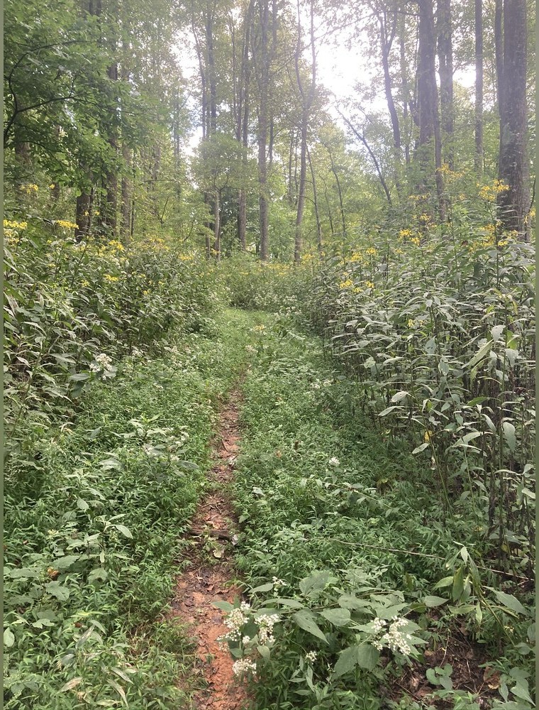
The Benton MacKaye Trail near Wilscot, Georgia — the route that carries his name. Discussed in A regional planner proposed it before anyone walked it.
Photo: Benton MacKaye Trail near Wilscot · Wikimedia Commons
The gap between designation and walkability
Designation as a National Scenic Trail under the 1968 Act sounds like the end of a story but is more often the beginning of a much longer argument. The Act obligated the federal government to protect a corridor and to develop the trail, but it did not fund the work at the scale the task required, and it did not resolve questions of land ownership, rerouting or maintenance responsibility. For the AT, much of the corridor acquisition work was still underway in the 1980s; the NPS and the ATC spent years negotiating easements and purchasing private inholdings to give the trail a protected footprint. For the PCT, trail construction in the Mojave and the Sierra sections involved negotiation with water agencies, ranchers and state land boards. The CDT, crossing Bureau of Land Management, Forest Service and private land in roughly equal measure, remains the most contested.
What this means for the history of completion is that "first thru-hike" carries real ambiguity. Earl Shaffer walked the Appalachian Trail end-to-end in 1948, a year he described as a walk to leave the Second World War behind him, and the Appalachian Trail Conference verified his account from his notes and photographs — a verification method that remains the model for long-trail record-keeping. For the PCT, Eric Ryback reported a complete traverse in 1970, though sections he used were not yet formally designated trail, and later walkers disputed the route. The CDT saw its first documented end-to-end thru-hike in 1978 by Jim Wolf, the same person who had proposed the route, though the trail was simultaneously incomplete in a structural sense.
Emma Gatewood — the Ohio woman who walked the Appalachian Trail in 1955 at the age of 67, wearing canvas sneakers and carrying a homemade denim sack — became the AT's most widely reported early thru-hiker, and her three completions lodged the trail in the public imagination in a way that Shaffer's 1948 walk, though earlier, had not quite achieved. Base weights then ran to figures that would now seem extraordinary: the external-frame packs and cotton clothing documented in accounts from the 1970s regularly put total carried weight above fifteen kilos. The shift toward what Ray Jardine systematised in the 1990s as an ultralight philosophy — treating every item as optional until proven necessary — collapsed those weights over the following two decades, but that is a later chapter in a different argument.
Chronology
- 1921Benton MacKaye publishes his AT proposal in the Journal of the American Institute of Architects
- 1932Clinton Clarke begins lobbying for a Pacific Crest route
- 1937Appalachian Trail declared complete after final Maine link
- 1948Earl Shaffer makes the first reported AT thru-hike
- 1955Emma Gatewood becomes the first woman to thru-hike the AT
- 1968National Trails System Act designates AT and PCT as the first two National Scenic Trails
- 1978Continental Divide Trail receives National Scenic Trail designation; Jim Wolf makes first documented CDT thru-hike
- 1993PCT's final desert sections opened; route considered fully walkable
- 1994American Long Distance Hiking Association–West begins formal Triple Crown tracking
The retrospective set
The phrase "Triple Crown" was already in informal use among long-distance hikers in the 1970s and 1980s as a way of describing completion of all three trails. The American Long Distance Hiking Association–West began formally tracking Triple Crown completions in 1994, giving the designation an administrative reality. The numbers tracked since then show that verified Triple Crown finishers remain a small group — a few hundred as of the mid-2020s — and that completion of the CDT is far rarer than completion of either the AT or the PCT, reflecting the route's greater length, its navigational difficulty, the less consistent waymarking, and the genuinely unresolved sections of tread.
What the Triple Crown did, culturally and institutionally, was impose a set's logic backward onto routes that had no such logic at their founding. MacKaye did not think about the Rockies. Clinton Clarke did not design a complement to the eastern trail. The CDT's advocates were not building a capstone to a trilogy. The trio exists because the United States happened to have three mountain chains running north-south through its continental land mass, because the political culture of the 1960s produced legislation generous enough to designate all three, and because the hiking community that grew up after that legislation wanted a framing large enough to organise ambition over a lifetime of walking. The trails were built separately. The set was assembled in the imagination of the people who walked them.
For the PCT, Eric Ryback reported a complete traverse in 1970, though sections he used were not yet formally designated trail, and later walkers disputed the route.
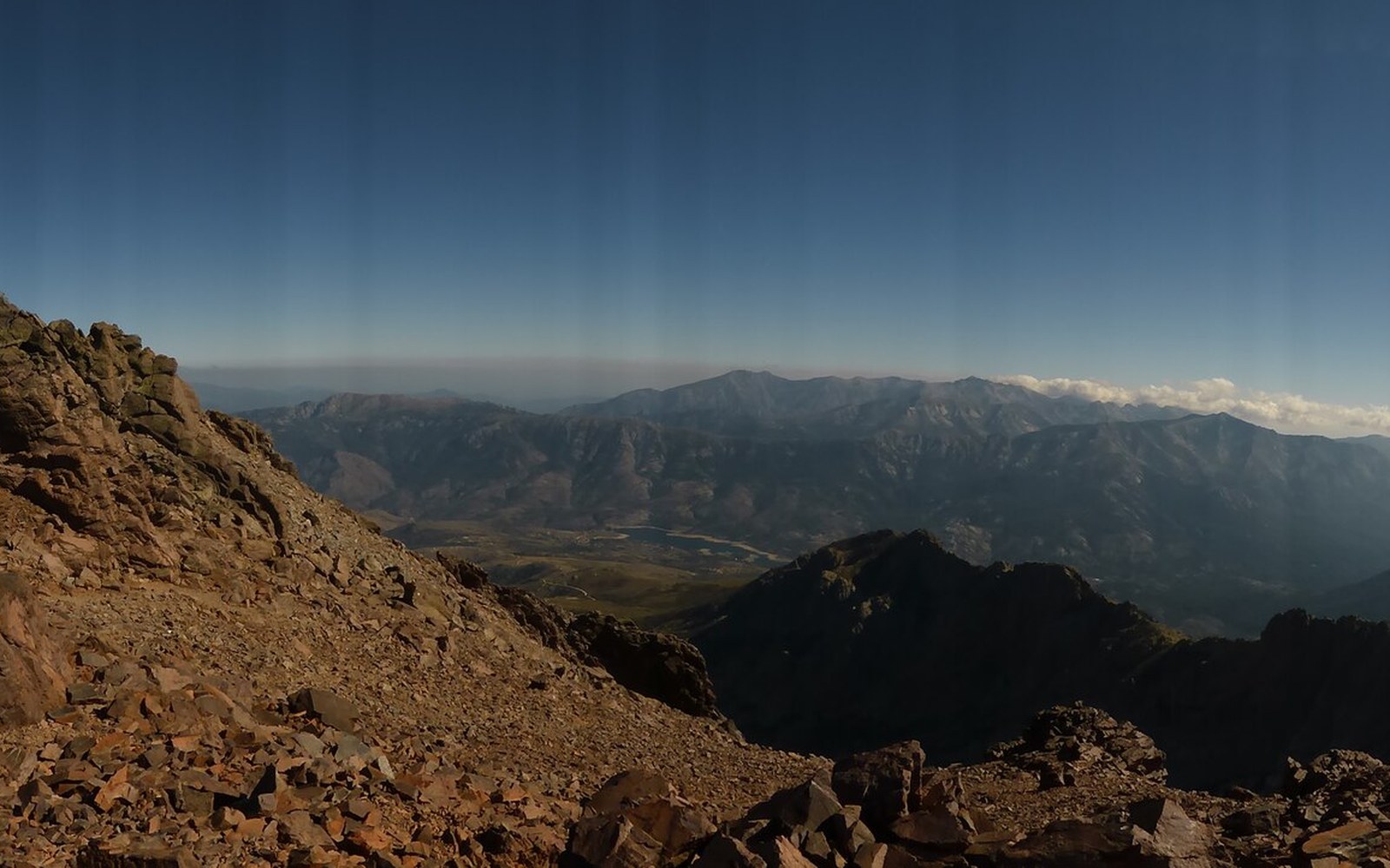
The GR20 between Asco and Tighiettu, Corsica. Discussed in Europe numbered its long paths.
Photo: Gr-20-asco-tighiettu-11 · Wikimedia Commons
The three trails at a glance
- Appalachian Trail
- ~3,500 km (2,200 miles), Georgia to Maine, managing body: Appalachian Trail Conservancy
- Pacific Crest Trail
- ~4,265 km (2,650 miles), Mexico to Canada, managing body: Pacific Crest Trail Association
- Continental Divide Trail
- ~5,000 km (3,100 miles), Mexico to Canada, still partially incomplete as of the mid-2020s
More in The routes, and who drew them