A Medieval System That Was Already Working
When Benton MacKaye sketched the Appalachian Trail in 1921, proposing huts at intervals and a managed corridor through the eastern forests, he was reinventing something that Iberian monks, noblemen and municipal councils had already operated for eight centuries. The Camino de Santiago — the pilgrim road to the cathedral of Santiago de Compostela in Galicia — is the oldest continuously maintained long-distance walking infrastructure in the Western world, and almost everything the modern trail movement considers an innovation exists in it, earlier.
The route's core document is the Codex Calixtinus, a twelfth-century manuscript held at Santiago de Compostela Cathedral that includes a pilgrim guide attributable to a French cleric named Aymeric Picaud. That guide describes the route in stages, names rivers, warns of hostile territory and identifies the hospices where pilgrims could shelter and eat. The staged itinerary — a sequence of stages from the Pyrenees to Compostela — was not a suggestion. It was infrastructure, calibrated to what a laden traveller could cover in a day's walk and timed to the next available hospice.
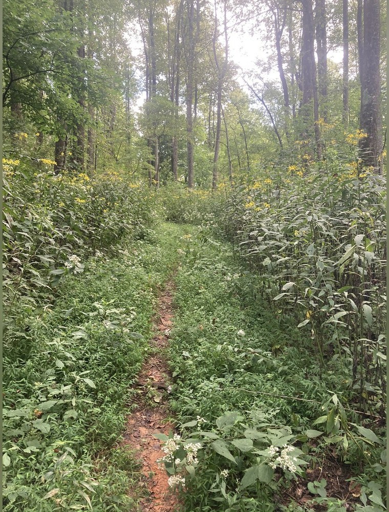
The Benton MacKaye Trail near Wilscot, Georgia — the route that carries his name. Discussed in A regional planner proposed it before anyone walked it.
Photo: Benton MacKaye Trail near Wilscot · Wikimedia Commons
Waymarks Before Paint
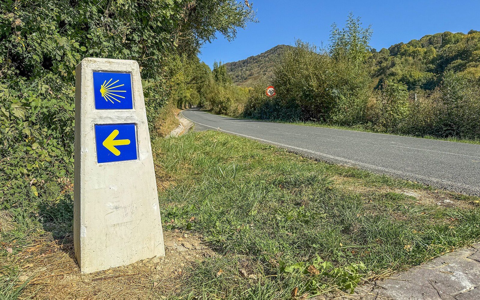
The modern waymark — the white-and-red rectangle of the GR network, or the Appalachian Trail's two-inch-by-six-inch white blaze — is a child of the twentieth century. The Camino's equivalent is the scallop shell, venera in Spanish, and the yellow arrow. The shell was the medieval pilgrims' badge, carried back from Compostela as proof of completion; over time it migrated from pocket to waypost. The yellow arrow was formalised by the Spanish priest Elías Valiña Sampedro, who in the 1980s drove the French Way marking its path with yellow paint, creating a continuous marked corridor nearly eight hundred kilometres long. His work preceded the route's designation as the first European Cultural Itinerary by the Council of Europe in 1987, which in turn triggered the infrastructure expansion that characterises the route today.
The albergue — the pilgrim hostel — is the Camino's direct descendant of the medieval hospice. Where a thru-hiker on the Pacific Crest Trail carries a shelter and plans resupply towns, a Camino pilgrim has historically walked between fixed stopping points, sleeping in communal dormitories run by parishes, municipalities and confraternities. The credencial, a pilgrim passport stamped at each albergue, functions as a combined trail register and access document: it records progress, proves completion and entitles the holder to the Compostela, the certificate issued by the cathedral. The stamp-and-certify system is older in concept than any modern long trail's permit or register.
Chronology
- 12th centuryCodex Calixtinus sets out the pilgrim route in stages with hospice locations
- 1980sElías Valiña Sampedro marks the French Way with yellow arrows
- 1987Council of Europe designates the Camino the first European Cultural Itinerary
- 1993Jubilee year catalyses modern revival of mass pilgrimage on the route
Numbers That Organise the Walk
Pilgrimage numbers collapsed during the eighteenth and nineteenth centuries and had not recovered meaningfully by the mid-twentieth. The Jubilee year of 1993 — when the feast of Saint James falls on a Sunday, which occurs on a fixed cycle — drew renewed attention, and the Pilgrim's Reception Office at Santiago records annual arrivals by route, nationality and mode of travel, a dataset that now stretches back decades and constitutes the most detailed completion record of any long walking route in the world.
What makes the Camino unusual among long-distance routes is not its distance or its difficulty but the age of its operating logic. The staging, the lodging, the certification and the waymarking were not designed by a trail organisation working from a blank map. They accumulated across a millennium, were nearly lost, and were then deliberately recovered — the yellow arrows a late and decisive act of maintenance in a very long history of maintenance.
The modern waymark — the white-and-red rectangle of the GR network, or the Appalachian Trail's two-inch-by-six-inch white blaze — is a child of the twentieth century.
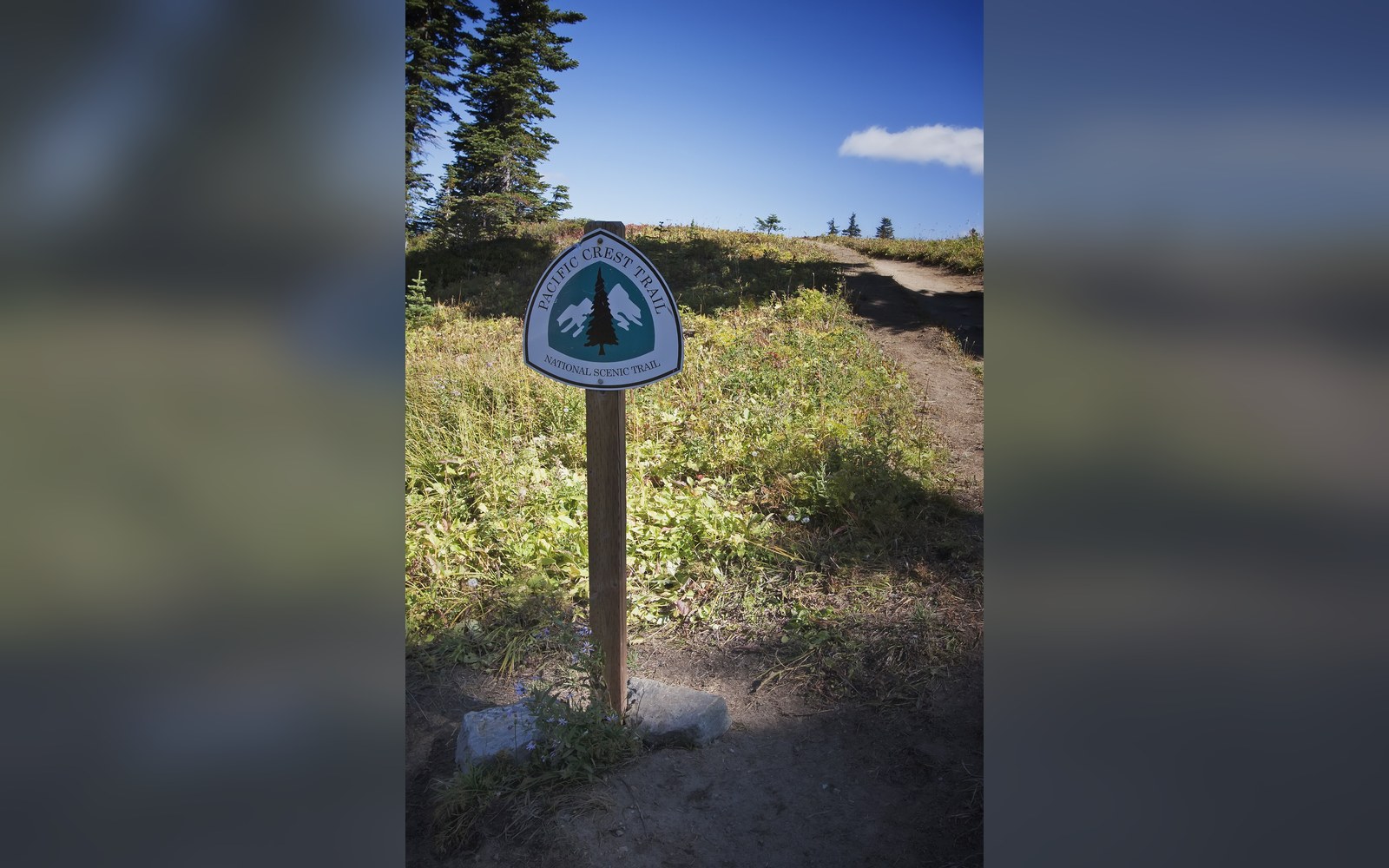
A Pacific Crest Trail sign. Discussed in Three routes that became a set.
Photo: Pacific Crest Trail sign · Wikimedia Commons
Terms from the route
- Codex Calixtinus
- 12th-century manuscript including the earliest known pilgrim guide to the Camino
- venera
- the scallop shell, medieval pilgrim badge and modern waymark symbol
- albergue
- pilgrim hostel, the Camino's equivalent of a trail shelter; access usually requires a credencial
- credencial
- pilgrim passport, stamped at each stop; functions as the route's trail register
- Compostela
- certificate of completion issued by Santiago de Compostela Cathedral
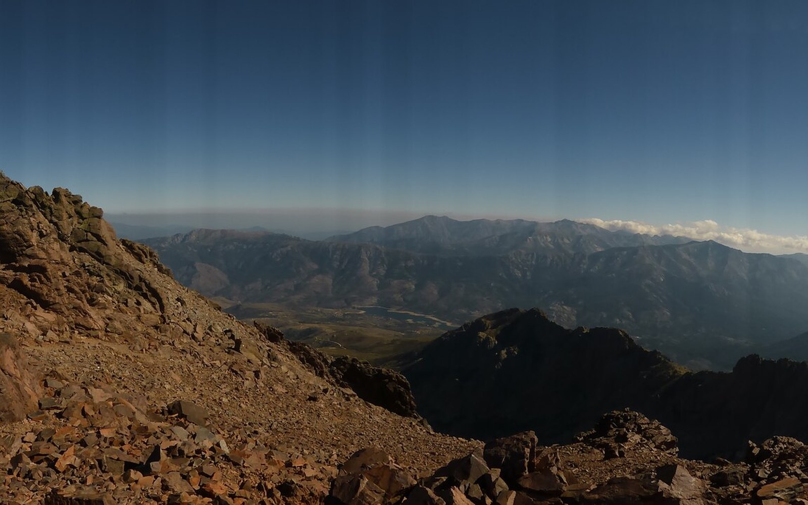
The GR20 between Asco and Tighiettu, Corsica.
Photo: Gr-20-asco-tighiettu-11 · Wikimedia Commons
More in The routes, and who drew them