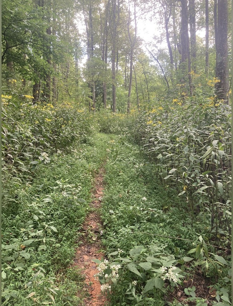
The essay that started everything
Benton MacKaye was a forester and regional planner, employed by the United States Forest Service and later connected to the Regional Planning Association of America, when he published "An Appalachian Trail: A Project in Regional Planning" in the Journal of the American Institute of Architects in October 1921. The piece was not a hiking proposal. MacKaye's central worry was that industrial life was grinding people down, and his remedy was a continuous spine of open land along the Appalachian ridge where workers could retreat, recover, and eventually form self-sufficient communities. Farms, study camps and a permanent reservation of wild ridge land were the machinery of his scheme. The footpath was infrastructure for that vision, not an end in itself.
MacKaye sketched the route in broad terms: a trail running the length of the Appalachian range from the highest point in the north — he named Mount Washington in New Hampshire — to Mount Mitchell in North Carolina, later extended southward to Springer Mountain in Georgia and northward to Mount Katahdin in Maine. He estimated the mountain spine at roughly 1,200 miles, a figure the actual trail would nearly double as routing threaded through the ranges rather than crossing them in a straight line. The Appalachian Trail Conservancy now cites the completed route at approximately 2,198 miles, a figure that has shifted slightly with reroutes over the decades.
What MacKaye proposed that no one had proposed before was the idea of a trail as a system: marked, maintained, served by shelters, connected to a network of side trails, and managed by a federation of clubs rather than a single authority. He was not inventing the long walk — mountain clubs in New England had built and managed trails for decades — but he was the first to argue that such trails should be linked into a coherent whole across state lines, and that the linking should be organised rather than accidental.
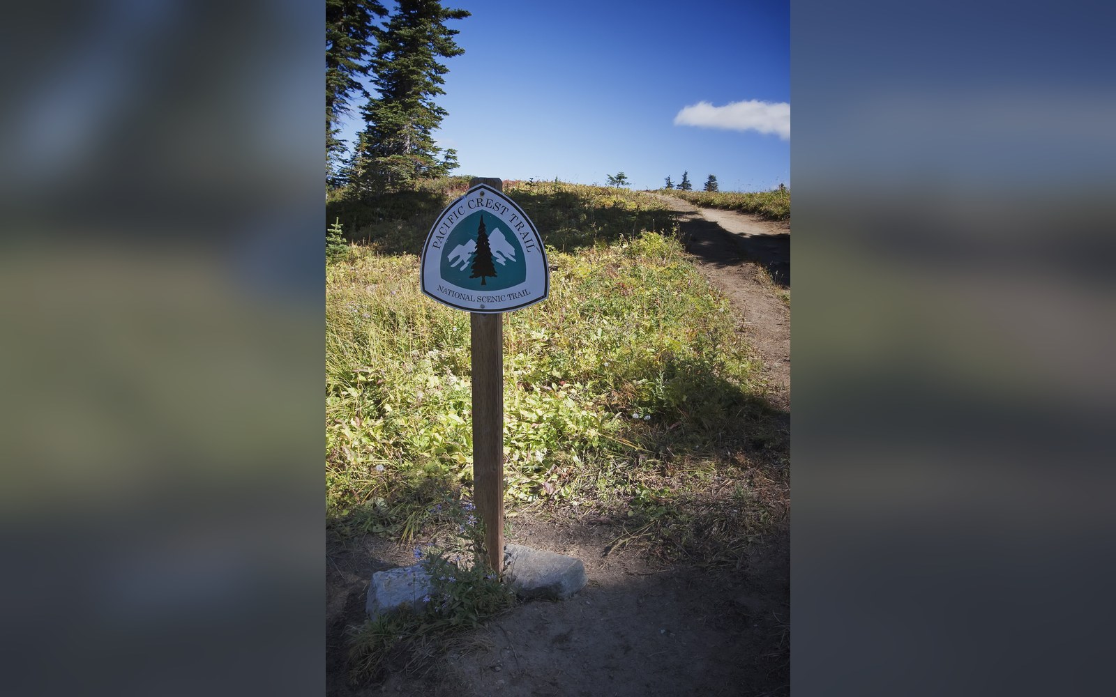
A Pacific Crest Trail sign. Discussed in Three routes that became a set.
Photo: Pacific Crest Trail sign · Wikimedia Commons
Building the thing
The building of the trail that followed MacKaye's article was neither swift nor unified. Myron Avery, a lawyer and obsessive trail organiser, became the driving force of the Potomac Appalachian Trail Club and eventually chairman of the Appalachian Trail Conference (now the Appalachian Trail Conservancy). Avery and MacKaye fell out badly over direction — MacKaye opposed the Skyline Drive road project in Virginia on planning grounds; Avery was willing to tolerate it. Their estrangement became one of the founding tensions of the trail's institutional history.
Avery also introduced the practice of measuring the trail with a measuring wheel, personally hiking and measuring sections throughout the 1930s, and he is credited with being the first person to cover all sections of the route on foot, though not in a continuous journey. The continuous, end-to-end walk — what would later be called a thru-hike — was a different achievement, and one that did not come until 1948, when Earl Shaffer walked the trail from Georgia to Maine and reported it as a single unbroken journey, which the Appalachian Trail Conference initially doubted.
The trail reached nominal completion on 14 August 1937, when a two-mile section on the Spaulding and Sugarloaf mountains in Maine was cleared, linking the remaining gap. "Nominal" is the right word: the route was marked and walkable end to end, but large stretches ran along roads, shelters were sparse, and the condition of the tread varied enormously by club and by state. The trail that Shaffer walked in 1948 was not the groomed corridor the Appalachian Trail Conservancy manages today.
Chronology
- 1921MacKaye publishes "An Appalachian Trail: A Project in Regional Planning" in the Journal of the American Institute of Architects, October
- 1925Appalachian Trail Conference founded, with Myron Avery as a central organiser
- 1937Trail declared complete end to end, 14 August, with the closure of a gap in Maine
- 1948Earl Shaffer walks Georgia to Maine, the first reported thru-hike
- 1968National Trails System Act gives the Appalachian Trail federal designation
- 1975MacKaye dies, aged 96
From planning document to template
What happened between 1921 and the trail's completion, and then in the decades after, was that the infrastructure logic MacKaye described — clubs, shelters, blazes, registers, maintained tread — proved to be the right model even as his communitarian vision for the land never materialised. The farms and work camps never came. The trail did.
That infrastructure logic spread. The model of a volunteer club confederation managing a long trail under a central coordinating body became the template used, with variations, by every subsequent long trail in the United States. The Pacific Crest Trail Association performs a structurally similar role on the West Coast; the Continental Divide Trail Coalition does likewise along the Rockies. In Europe, the GR network developed through a parallel logic of federation, with the Fédération Française de la Randonnée Pédestre coordinating clubs and standardising waymarks across a continent. The specific form differs — paint blazes in the United States, the red-and-white horizontal bars of the GR system in France — but the organising idea is the same one MacKaye described: a trail is not a path, it is a maintained system with governance.
MacKaye also, almost incidentally, invented the blaze as a coordinated standard. His article did not specify dimensions, but the culture of standardised marking that his confederation model required eventually produced the two-inch-by-six-inch white rectangle that the Appalachian Trail uses today, painted at consistent intervals to make the route legible without maps. The blaze became so strongly associated with the Appalachian Trail that it functions now as a kind of brand identity for the oldest long trail in a country that would eventually build many.
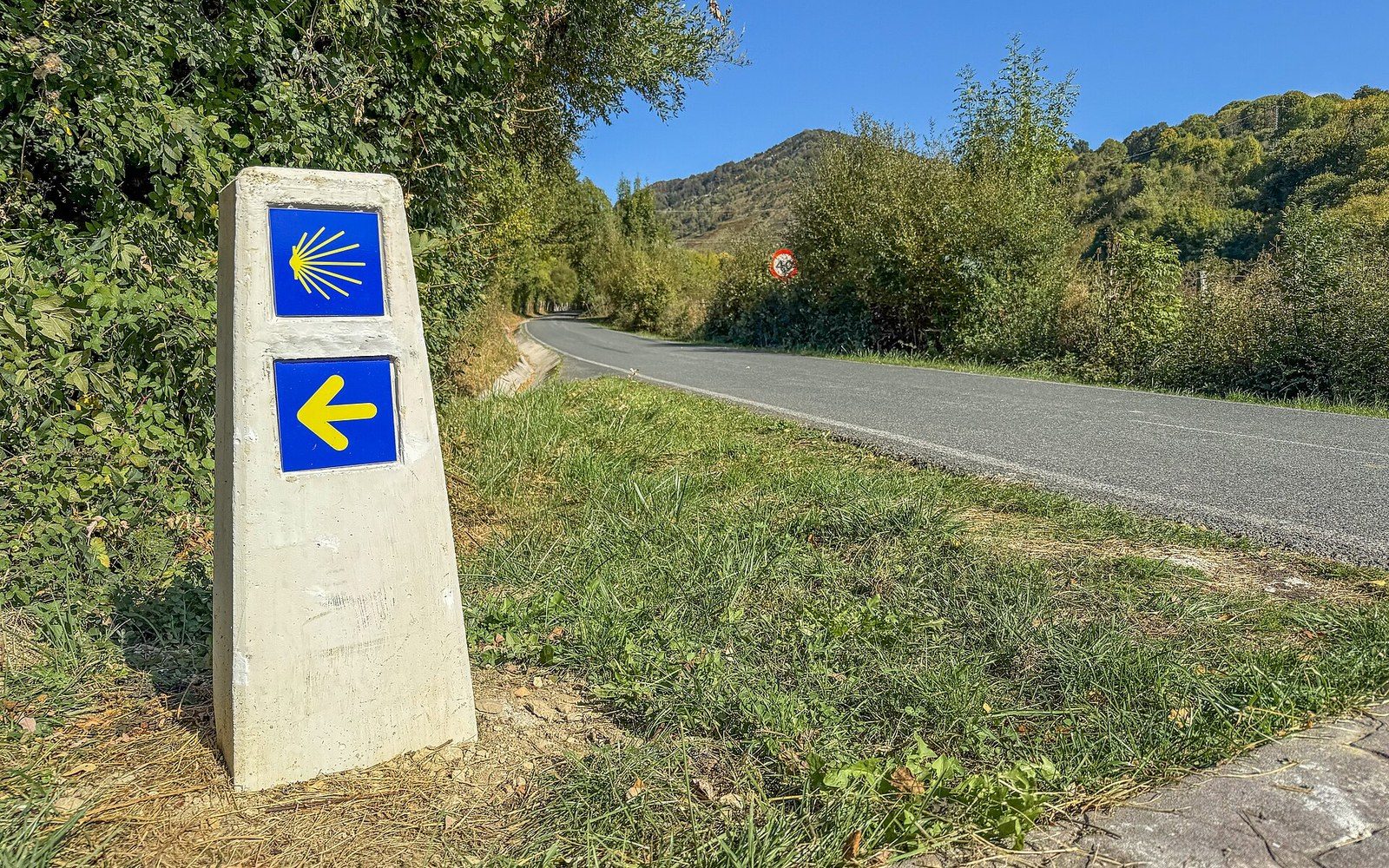
A waymarker of the Camino de Santiago near Erro, Navarre.
Photo: Waymarker of the Camino de Santiago near Erro, Navarre, Spain · Wikimedia Commons
The National Trails System Act of 1968, which gave federal designation first to the Appalachian Trail and the Pacific Crest Trail, was itself a legislative confirmation of the logic MacKaye had described: that a long trail is a public good requiring a legal framework, not just a recreational amenity that clubs can manage informally. MacKaye's 1921 article was, in this reading, a policy proposal that took forty-seven years to reach statute.
MacKaye lived until 1975, long enough to see the trail federally protected and Earl Shaffer walk it a second time, in 1965, at the age of forty-six. He did not live to see the trail culture that grew from his planning document — the millions of registered visitors, the thru-hiker economy, the equipment revolution that Ray Jardine would trigger in the 1990s. He had proposed a working landscape. What grew was something stranger and larger: a permanent institution of walking, anchored by the infrastructure he described before anyone had proved it could be walked.
The trail reached nominal completion on 14 August 1937, when a two-mile section on the Spaulding and Sugarloaf mountains in Maine was cleared, linking the remaining gap.
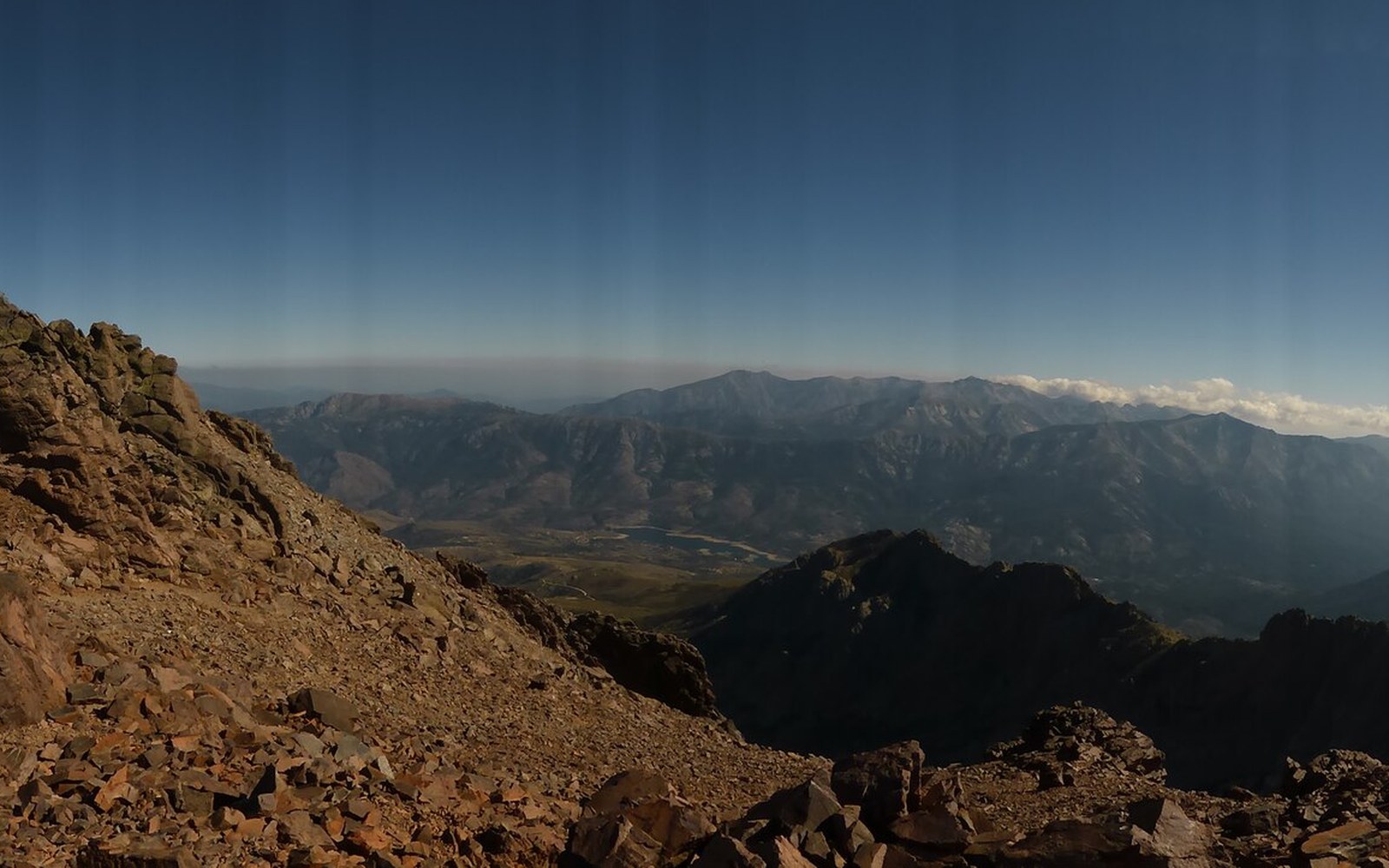
The GR20 between Asco and Tighiettu, Corsica. Discussed in Europe numbered its long paths.
Photo: Gr-20-asco-tighiettu-11 · Wikimedia Commons
The argument behind the trail
- MacKaye's premise
- industrial labour was damaging workers; ridge land could serve as a restorative counter-environment
- What he actually proposed
- a trail system linked to farms, work camps and wilderness reservations; the footpath was the connective tissue, not the point
- What was built
- the trail and its club infrastructure; the communitarian land use never materialised
- Why it mattered anyway
- the federation model and the blaze standard became templates for long trails worldwide
More in The routes, and who drew them