How the Marks Were Agreed
France formalised its long-distance footpath network earlier than most countries, and the result is one of the more quietly impressive acts of bureaucratic imagination in outdoor history. The Comité National des Sentiers de Grande Randonnée — today known as the Fédération Française de la Randonnée Pédestre (FFRandonnée) — began codifying routes in the early 1950s. The system it produced assigned each long-distance route a number prefixed by the letters GR, for grande randonnée (long walk), and fixed a waymark that any volunteer with a tin of paint could apply: two horizontal bars, red over white, on a tree or a rock or a post. The double stripe was compact enough to read at pace, distinctive enough not to be confused with property markings, and cheap enough to be painted across thousands of kilometres of countryside without institutional infrastructure.
What made the system genuinely useful rather than merely tidy was the agreement to share it. The FFRandonnée extended the standard across borders, and neighbouring national federations adopted the same visual grammar. Belgium, Luxembourg, the Netherlands and Spain each applied the red-and-white mark to their own numbered networks, so a walker crossing from France into Spain on the GR7 or the GR10 encounters the same stripe without transition. The numbers themselves carry rough geographic logic: GR routes below 100 are generally French national routes; the GR10, for instance, traverses the Pyrenees from Atlantic to Mediterranean. Higher numbers tend to be more regional. The system never became a rigid map, but it became legible.
Waymarks are supplemented by a second code: a red-and-white cross (X) means wrong direction, and a sharp angle painted in the same colours signals a turn. Walkers who learn the grammar once can read it anywhere the system applies, which now spans well over sixty thousand kilometres of marked trail across Europe, according to FFRandonnée's own documentation.
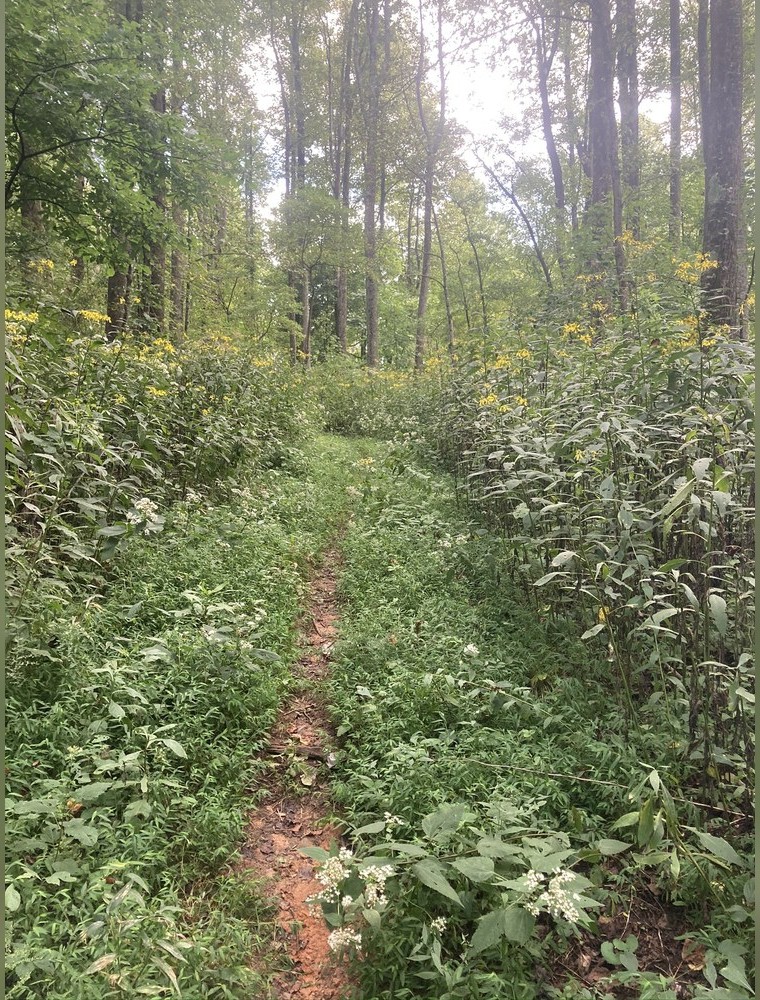
The Benton MacKaye Trail near Wilscot, Georgia — the route that carries his name. Discussed in A regional planner proposed it before anyone walked it.
Photo: Benton MacKaye Trail near Wilscot · Wikimedia Commons
The GR20 as a Measure of the System
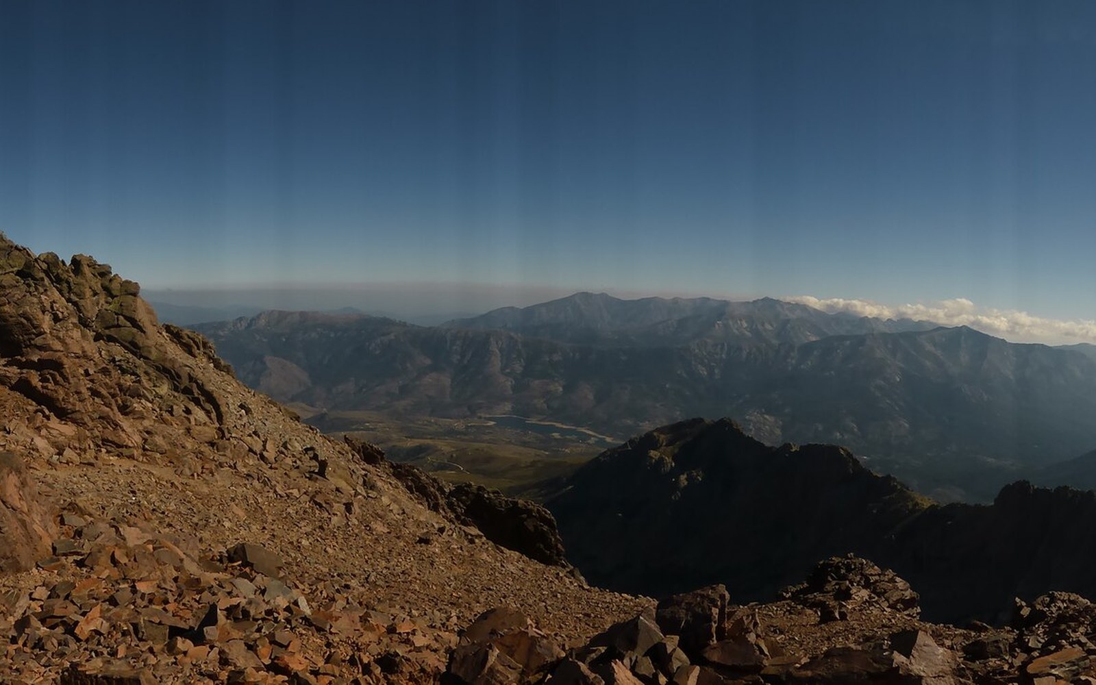
Among the routes the GR system numbers, the GR20 in Corsica has acquired the reputation of being the hardest long-distance marked trail in Europe. The trail runs roughly two hundred kilometres from Calenzana in the north to Conca in the south, across the granite spine of the island at altitudes that rarely drop below a thousand metres and regularly exceed two thousand. Corsica's interior has long been seen as a landscape that resists human settlement; the GR20 does nothing to soften that impression.
The route was developed in the 1970s and officially marked by the Parc Naturel Régional de Corse, which still manages it. Unlike the Appalachian Trail's painted tree blazes or the cairn-and-post conventions of the Kungsleden in Sweden, the GR20 relies on the standard red-and-white stripe supplemented by rock cairns above the treeline — the same logic that governs exposed ground anywhere in the system. The terrain, not the waymarking, is what gives the route its character: sustained scrambling on the Cirque de la Solitude section (subsequently rerouted after a fatal accident in 2015), river crossings, and long passages on bare rock with no shelter. Completion is measured in days rather than months; most walkers who attempt it do so in a concentrated two-week push.
What the GR20 demonstrates is the range the number system can contain. The same two stripes that mark a gentle valley walk in the Loire or a village-to-village stage on the Camino de Santiago also mark a route that guidebooks consistently describe as demanding serious mountain fitness. The mark itself makes no claim about difficulty; the number is an address, not a rating.
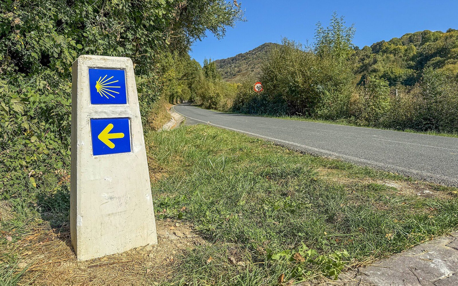
A waymarker of the Camino de Santiago near Erro, Navarre.
Photo: Waymarker of the Camino de Santiago near Erro, Navarre, Spain · Wikimedia Commons
That restraint is, arguably, the system's real achievement. It did not try to categorise or grade or certify the experience on offer. It simply agreed on a colour, painted it consistently, and let the land underneath determine what the walk would be. Sixty-odd years later, the stripe is still being applied, and the network is still growing.
Chronology
- Early 1950sFFRandonnée (then Comité National des Sentiers de Grande Randonnée) begins formalising the GR network
- 1970sGR20 developed and officially marked by the Parc Naturel Régional de Corse
- 2015Cirque de la Solitude section rerouted following a fatal accident
The Comité National des Sentiers de Grande Randonnée — today known as the Fédération Française de la Randonnée Pédestre (FFRandonnée) — began codifying routes in the early 1950s.
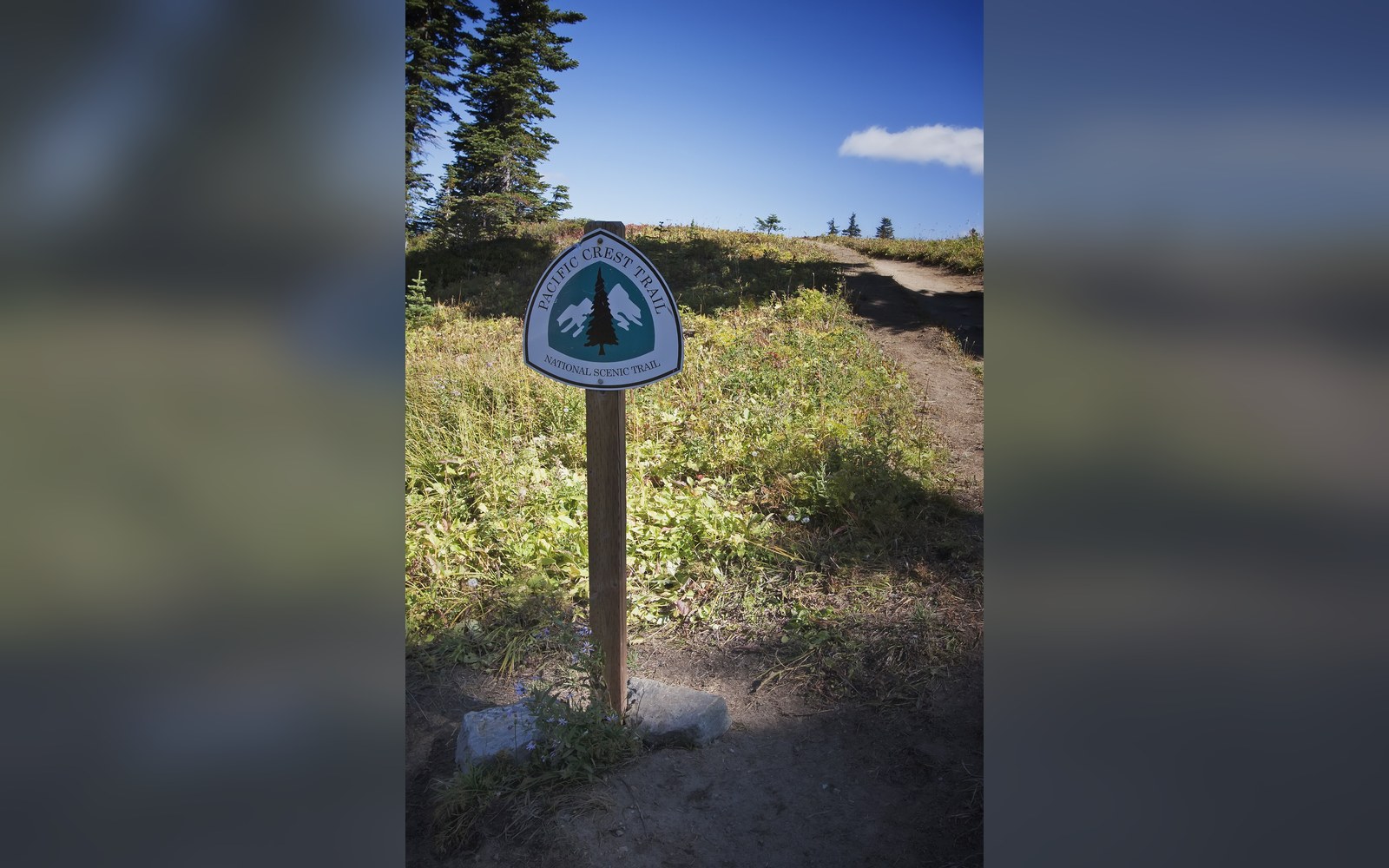
A Pacific Crest Trail sign. Discussed in Three routes that became a set.
Photo: Pacific Crest Trail sign · Wikimedia Commons
Waymark grammar
- Red over white double stripe
- route confirmed, keep going
- Double stripe with broken lower bar
- wrong direction, turn back
- Red-and-white angle or X
- turn or junction ahead
- Cairn
- above-treeline supplement where paint cannot hold on bare rock
More in The routes, and who drew them