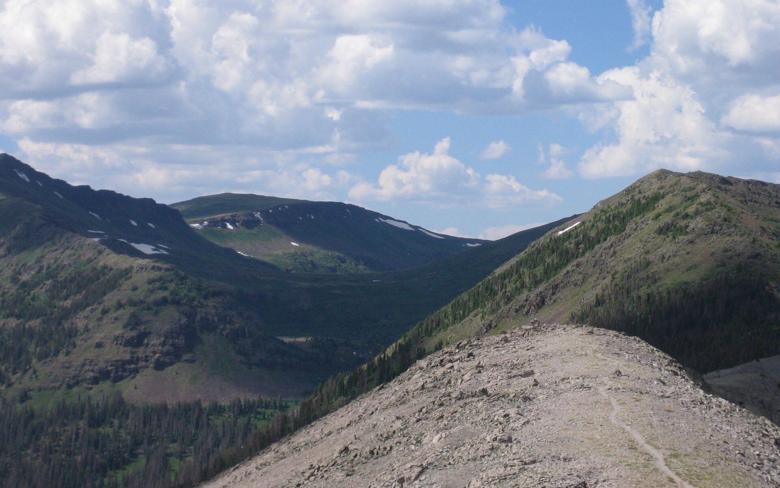
A trail nobody thought you could walk through
The Appalachian Trail had been continuous on paper since 1937, when the final section, in Maine, was completed and the route stretched unbroken for roughly 2,190 miles between Mount Oglethorpe in Georgia and Mount Katahdin in Maine. That figure, as reported by the Appalachian Trail Conservancy, has shifted slightly over the decades as reroutes have been surveyed and recorded, but the essential corridor was in place. What the trail was not, in any organisational sense, was something a single person was expected to traverse from end to end in a single continuous journey. The men who built it — Benton MacKaye, who proposed the route in 1921 as a framework for regional planning, and Myron Avery, who drove the physical work of scouting, measuring and flagging — had imagined it as a connected system of sections, each to be walked and loved locally. The notion of consuming the entire thing in one go, in one season, was treated less as a goal than as an eccentric daydream.
That was the climate in which Earl Shaffer arrived at Mount Oglethorpe in Georgia — the southern terminus at the time — on 4 April 1948, pointed himself north, and began walking. He was twenty-nine years old, a veteran of the Pacific war, and by his own later account he was trying to walk the war out of his system. He had served in the Army Signal Corps and lost his closest friend, Walter Winemiller, on Iwo Jima. Whatever the psychological truth of his reasoning, the historical fact is straightforward: he walked, and he kept walking, and on 5 August 1948 he stepped onto the summit of Katahdin, having covered the full length of the trail in approximately 124 days.
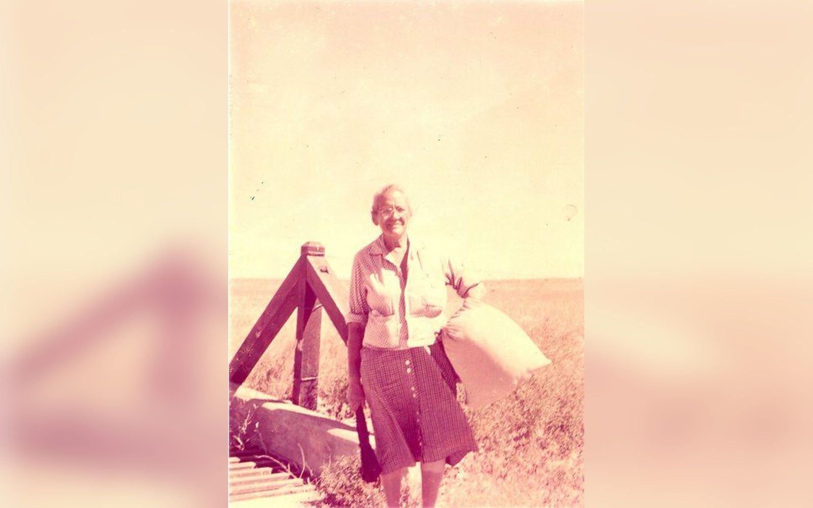
Emma Gatewood with her homemade sack. Discussed in A woman walked it in 1955 in canvas shoes.
Photo: Emma Gatewood 424x604 · Wikimedia Commons
What the Conservancy found when it looked
The Appalachian Trail Conference — it did not become the Appalachian Trail Conservancy until 2005 — was sceptical. Its leadership included people who had spent years working on individual sections and who understood how badly maintained much of the trail was in the years immediately after the Second World War. Maintenance crews had been depleted, blowdowns had piled up, and sections had become genuinely difficult to follow. The idea that someone had threaded the entire length without missing a piece struck experienced hands as implausible.
Shaffer had kept a journal and taken photographs along the route. The Conference sent Myron Avery, its long-serving chairman, to interview him. Avery examined the journal and the photographs and — in what must have been a complicated moment, given his own deep investment in the trail's character — accepted that Shaffer had done what he claimed. The photographs were the key evidence: they showed Shaffer at identifiable points along the route, in conditions that matched the season, and the journal entries were consistent in detail and geography. The verification process that accepted his walk was informal by modern standards, relying on documentary evidence rather than GPS tracks or independent witnesses at every waymark, but it was rigorous enough for its time. The Smithsonian Institution, which later collected material related to Shaffer, holds some of the documentary record of this period of trail history.
Official recognition followed. Shaffer was recorded as the first person to complete a thru-hike — the term for a continuous end-to-end journey completed within a single season — of the Appalachian Trail. The word "thru-hike" itself was not yet in common use, but the concept was now real rather than theoretical.
Chronology
- 1937Appalachian Trail completed as a continuous route between Georgia and Maine
- 4 April 1948Earl Shaffer departs Mount Oglethorpe heading north
- 5 August 1948Shaffer reaches Katahdin; journey of approximately 124 days
- 1948 (autumn)Appalachian Trail Conference accepts Shaffer's account after examining journal and photographs
- 1955Emma Gatewood completes the trail, generating widespread press coverage
- 1965Shaffer completes a southbound end-to-end walk, the first person to do it in both directions
- 1998Shaffer walks the trail a third time, aged seventy-nine, on the fiftieth anniversary
- 2002Shaffer dies
- 2005Appalachian Trail Conference renamed the Appalachian Trail Conservancy
The walk that changed what the trail was for
What Shaffer had done, almost by accident, was redefine the Appalachian Trail in the public imagination. MacKaye's original vision had been explicitly anti-individualist: the trail was to be a social project, a counterweight to industrial urbanism, a linked system of camps and communities. Shaffer's journey turned it into something else — a personal test, a linear quest with a beginning, a middle and an end. That shift in meaning gathered force slowly through the 1950s and then accelerated sharply in 1955, when Emma Gatewood walked the trail at the age of sixty-seven, in canvas sneakers, carrying a homemade bag, and generated national newspaper coverage that the trail had never previously attracted.
Shaffer himself walked the trail again — southbound this time, Georgia to Maine reversed — in 1965, becoming the first person to complete it in both directions. He walked it a third time in 1998, at the age of seventy-nine, to mark the fiftieth anniversary of his original journey. The third walk was slower and assisted at various points, but the symbolic weight of returning to the same corridor half a century later was considerable, and it drew wide attention. He died in 2002.
The record he set in 1948 also raised a structural question that the trail's managers have been working out ever since: what does it mean to verify a walk? In Shaffer's case, photographs and a journal were enough. As the number of people attempting thru-hikes grew through the following decades — slowly at first, then rapidly from the 1970s onward — the question of what counted as a completed thru-hike, and who had authority to say so, became more complicated. Trail registers, the notebooks placed in shelters and at key waypoints where walkers sign their names, became one layer of the record. Photographs, and eventually GPS data, added others. The Appalachian Trail Conservancy today maintains a 2,000-Miler recognition programme that operates on a self-reporting basis: walkers submit their own account, and the organisation records it without independently verifying every mile. The system rests, as it always has, on a combination of evidence and trust.
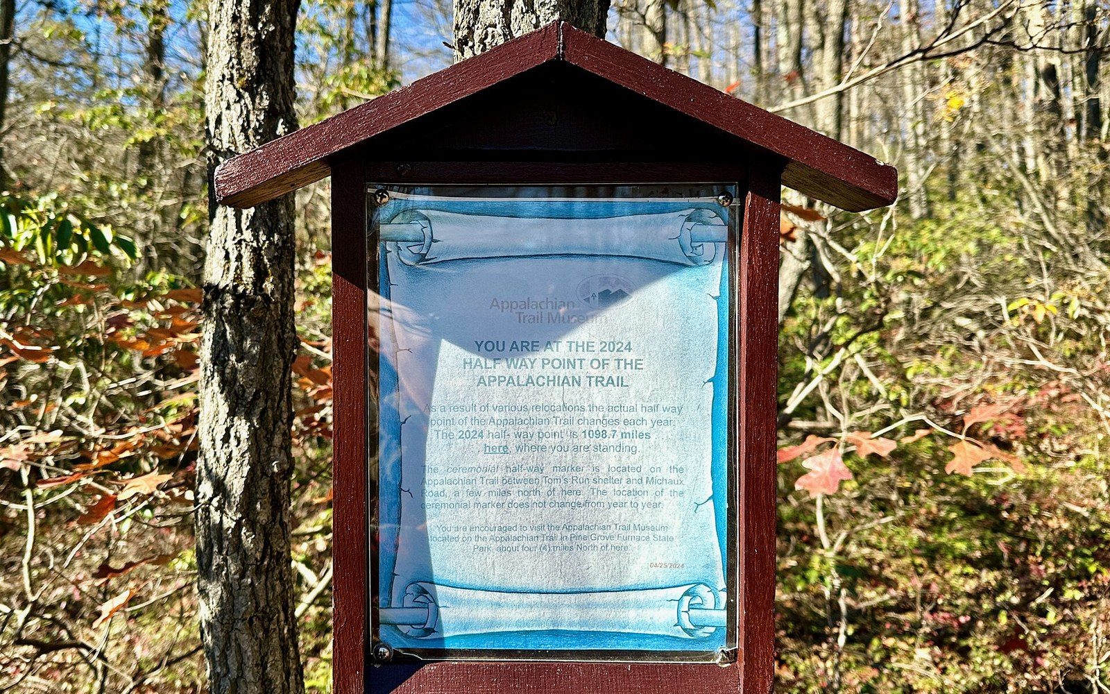
The Appalachian Trail’s 2024 halfway marker, Michaux State Forest, Pennsylvania.
Photo: Appalachian Trail 2024 Halfway Marker, Michaux State Forest, PA · Wikimedia Commons
What is striking, in retrospect, is how little infrastructure existed to support what Shaffer did. The gear he carried was military surplus — wool, canvas, a heavy pack — representative of an era when base weight sat around twenty kilos and the notion of engineering a load specifically for long-distance walking had not taken hold. The trail itself was poorly signed in places, its shelters patchy, its maintenance uneven. He navigated with a combination of maps, a compass and the blazes — the painted white rectangles on trees that mark the route — where he could find them. The practice of thru-hiking that emerged from his walk, and that now sends thousands of people onto the trail each year, rests on decades of infrastructure investment, volunteer labour and systematic waymarking that did not yet exist when he set out from Georgia in the spring of 1948.
He walked anyway, and the trail has been understood differently ever since.
The third walk was slower and assisted at various points, but the symbolic weight of returning to the same corridor half a century later was considerable, and it drew wide attention.
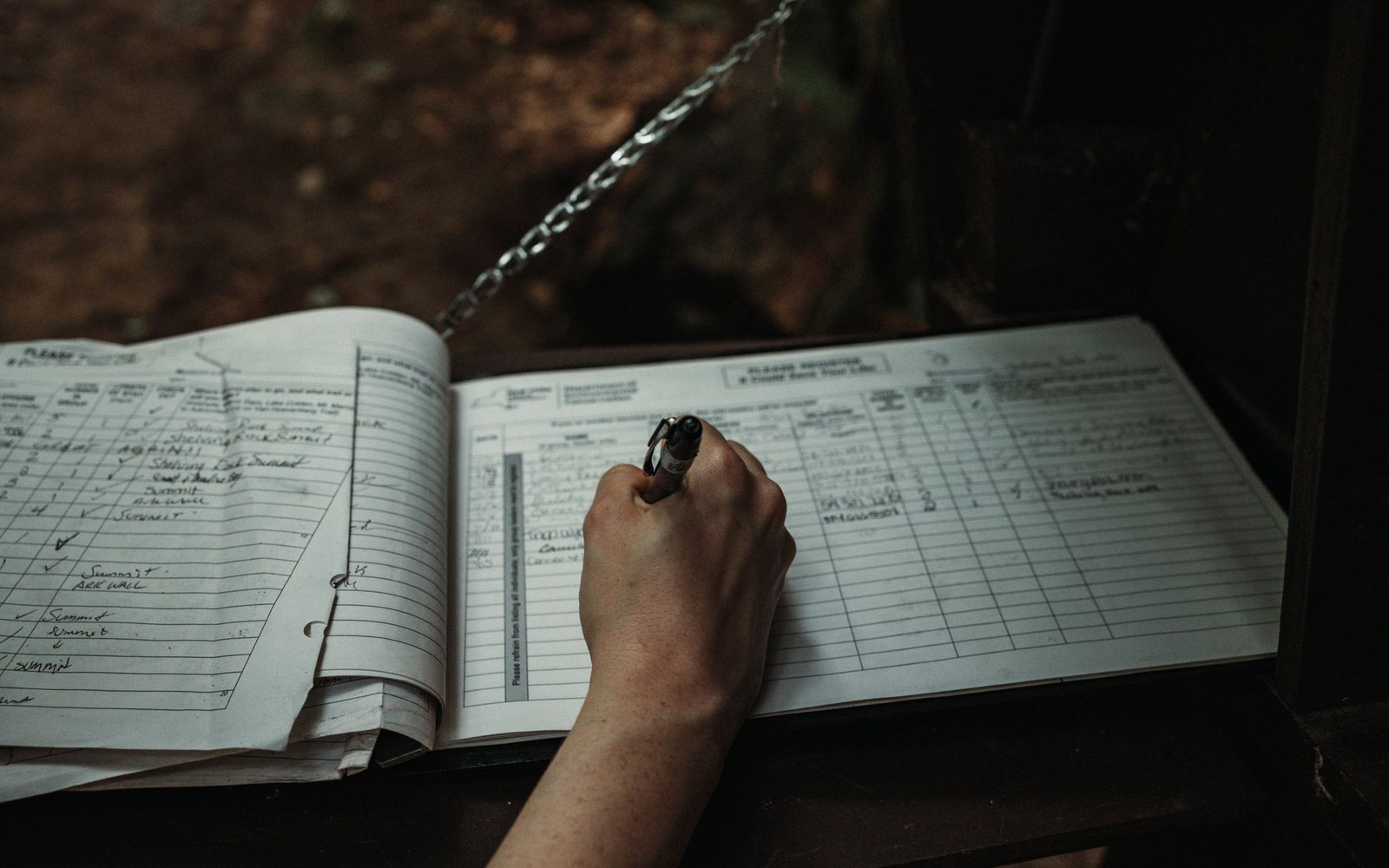
A trail register open on a shelter table. Discussed in Most people who start do not finish.
Photo: Connor Scott McManus / Pexels
The verification question
- Evidence Shaffer provided
- dated journal entries, photographs at identifiable locations
- Examiner
- Myron Avery, chairman of the Appalachian Trail Conference
- Modern equivalent
- ATC's 2,000-Miler self-reporting programme; GPS tracks increasingly common but not required
- Underlying issue
- no independent witnesses required then or now; the system depends on consistency of evidence and institutional trust
More in First walks and counted ones