The specification behind the paint
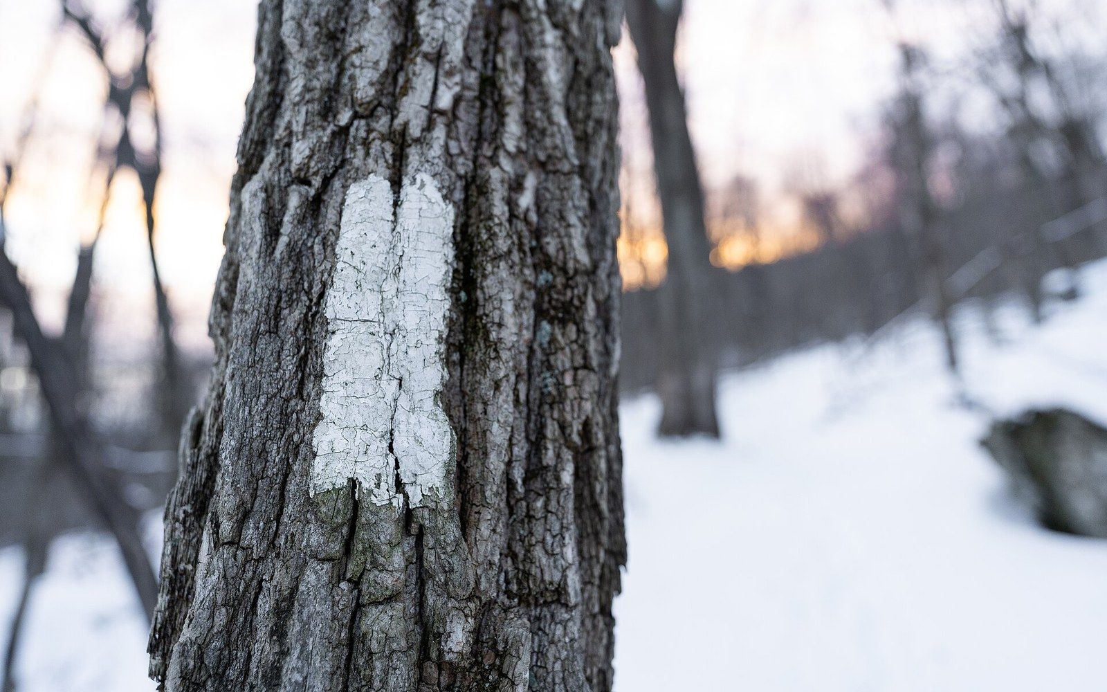
There is nothing accidental about the white rectangle on a tree. The Appalachian Trail Conservancy has codified the blaze down to the inch: two inches wide, six inches tall, applied in white paint on the bark at roughly eye level. Where the trail crosses a stretch without trees — a ridgeline, a bald, a rocky summit — the mark transfers to a cairn or a post, but the visual language stays the same white rectangle. On state-line crossings or at road intersections, a different managing jurisdiction may use a slightly different substrate, but the shape and colour remain constant enough that a walker who has not read a word of the guidelines learns the system inside a mile.
That consistency is the achievement. The Appalachian Trail runs roughly 2,200 miles from Springer Mountain in Georgia to Katahdin in Maine, according to the Appalachian Trail Conservancy, and it passes through fourteen states over terrain that ranges from sea-level swamp to exposed above-treeline ridgeline. Keeping any visual specification uniform across that distance, maintained by volunteers organised in dozens of separate trail clubs, is a coordination problem the paint itself quietly solves: if it doesn't match, someone knows something is wrong.
The double blaze — two rectangles stacked, with the upper one offset slightly left or right — signals a turn or an unusual feature ahead. Offset right means bear right; offset left means bear left. That is, in its entirety, the code. Two shapes, two colours (white for the main trail, blue for side trails to shelters and water), one size. No numbers, no arrows, no text. The system was not designed by a single person at a single moment; it evolved through practice and was then formalised. But it rewards a kind of trust: once learned, it can be followed in fog, in failing light, in the kind of exhaustion that makes reading impossible, because it asks nothing of language.
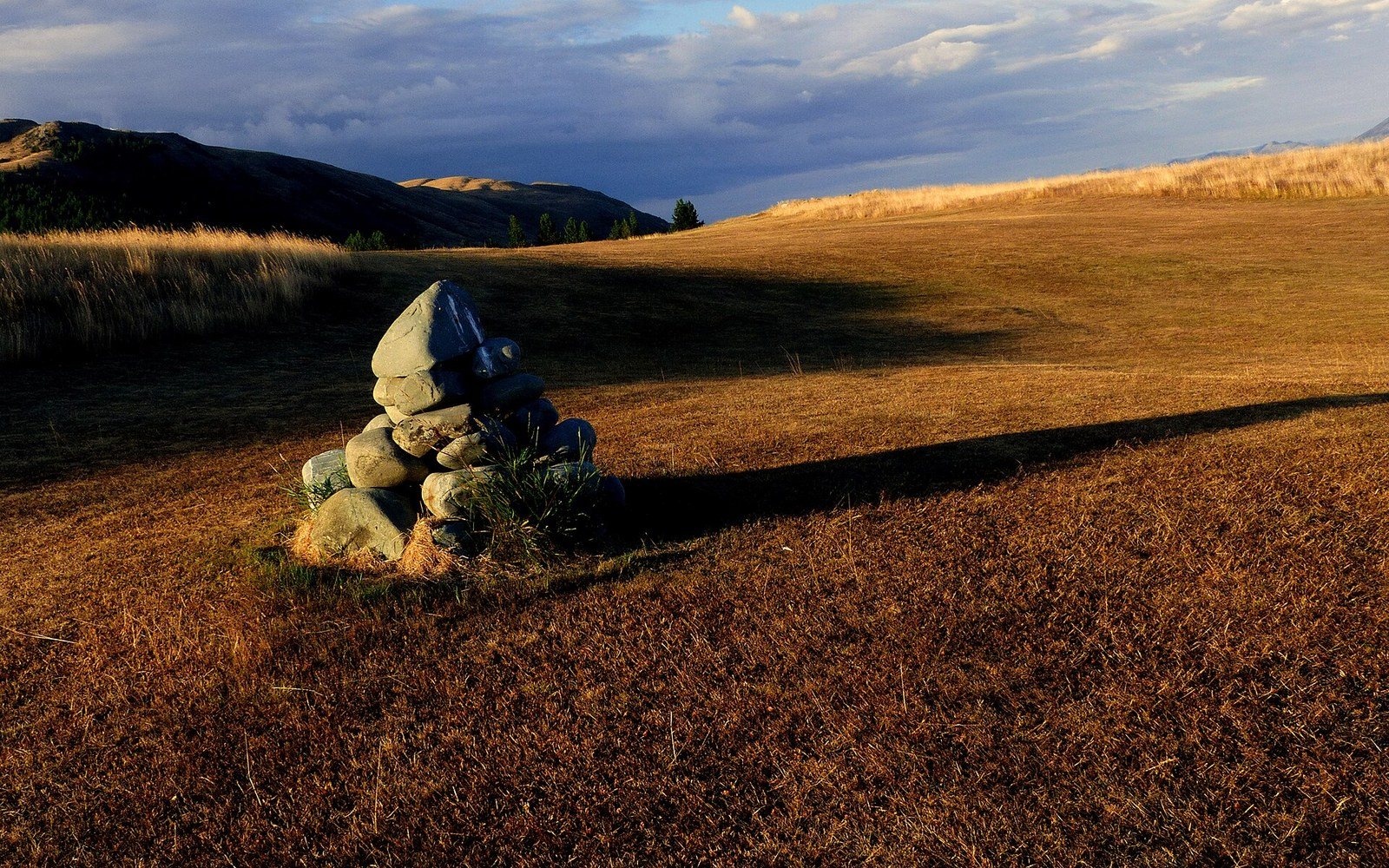
A stone cairn on open ground. Discussed in Stacked stone above the treeline.
Photo: The Stone Cairn. · Wikimedia Commons
Who built the standard, and when
Benton MacKaye's 1921 proposal in the Journal of the American Institute of Architects imagined the Appalachian Trail as a social and regional planning project — a ridgeline spine connecting existing footpaths and camp communities. MacKaye was thinking about land use and labour reform rather than waymarking specifications. The actual physical trail, and with it the question of how to mark it, fell to the people who cut and painted it, and especially to Myron Avery.
Avery, a Washington lawyer who chaired the Appalachian Trail Conference (later the Appalachian Trail Conservancy) from 1931 to 1952, was the organisational force behind completing the trail from Maine to Georgia. Where MacKaye had a vision, Avery had a measuring wheel, which he famously used to measure sections himself. He co-ordinated the volunteer trail clubs whose territories divided the trail into maintainable sections, and it was through that system that the blaze standard spread into practice. Not by decree so much as by transmission: new clubs learned from existing ones, and the Conservancy's guidance documents slowly codified what had already become habit.
By the time Earl Shaffer walked end to end in 1948 — the first reported thru-hike — the blaze system was already familiar enough that a stranger could navigate by it without local knowledge. That is exactly what made Shaffer's feat legible: he had not followed a guide or a companion but a painted mark on bark, repeated often enough to constitute a route. The verification of his walk, and of Emma Gatewood's in 1955, depended partly on the trail's own markings giving a geography to the journey — named shelters, known gaps, logged road crossings — all of which the blaze system anchored to physical space.
Chronology
- 1921Benton MacKaye publishes the Appalachian Trail proposal in the Journal of the American Institute of Architects
- 1931–1952Myron Avery chairs the Appalachian Trail Conference and coordinates completion and standardisation of the trail
- 1937Trail completed end to end for the first time as a continuous path
- 1948Earl Shaffer completes the first reported thru-hike, navigating by blaze alone
- 1955Emma Gatewood completes the trail; blaze system already mature enough to anchor both journeys
What the spacing tells you
The Conservancy's guidance calls for blazes to be placed so that a walker standing at one can see the next. On clear forest trail in good conditions, that might mean sixty or eighty yards. On rocky terrain, in dense vegetation, or approaching a confusing junction, they come closer. The spacing itself is information: when you have walked too far without seeing one, you are probably off the trail. This is the blaze functioning not just as direction but as confirmation — a steady reassurance, or its absence as a quiet alarm.
Side trails, which lead typically to shelters or to water sources, are marked in blue. The colour distinction is sharp enough to read at distance and in low light, and it means a walker can follow a blue blaze deliberately, knowing it leads off-route, without the anxiety that they have missed a white one. The shelter system along the trail — roughly one every eight to twelve miles, according to the Conservancy — is navigable entirely by that blue blaze, which is why the two-colour system has to be internally consistent in exactly the way a richer colour palette would not be.
What gets lost in talking about the blaze as a standard is how much manual labour the standard represents. Every rectangle is applied by a volunteer maintainer — the Appalachian Trail Conservancy's volunteer programme assigns responsibility for discrete sections to organised clubs, each of which must keep its blazes bright, its tread clear and its signs intact. A faded blaze is a maintenance failure, and in a section with thin cover or complex terrain, a maintenance failure has real consequences. The paint dries, weathers, and in the case of a dead tree, disappears entirely when the bark falls. So the specification is not a thing accomplished once; it is a practice sustained annually, and the two-inch-by-six-inch rectangle is the unit of that practice.
A cut trail bench on a steep slope.
Photo: Alexey Demidov / Pexels
The blaze endures because it asks very little of anyone: of the tree, one patch of exposed bark; of the paint, one colour; of the walker, the willingness to look up from the ground. The vocabulary it uses — single mark for go, double mark for change — is small enough to be learned in minutes and retained for weeks. That parsimony is not a limitation. A navigation system that works in fourteen states, across every season and every level of experience its users bring, succeeds precisely by refusing to be complicated.
Where the trail crosses a stretch without trees — a ridgeline, a bald, a rocky summit — the mark transfers to a cairn or a post, but the visual language stays the same white rectangle.
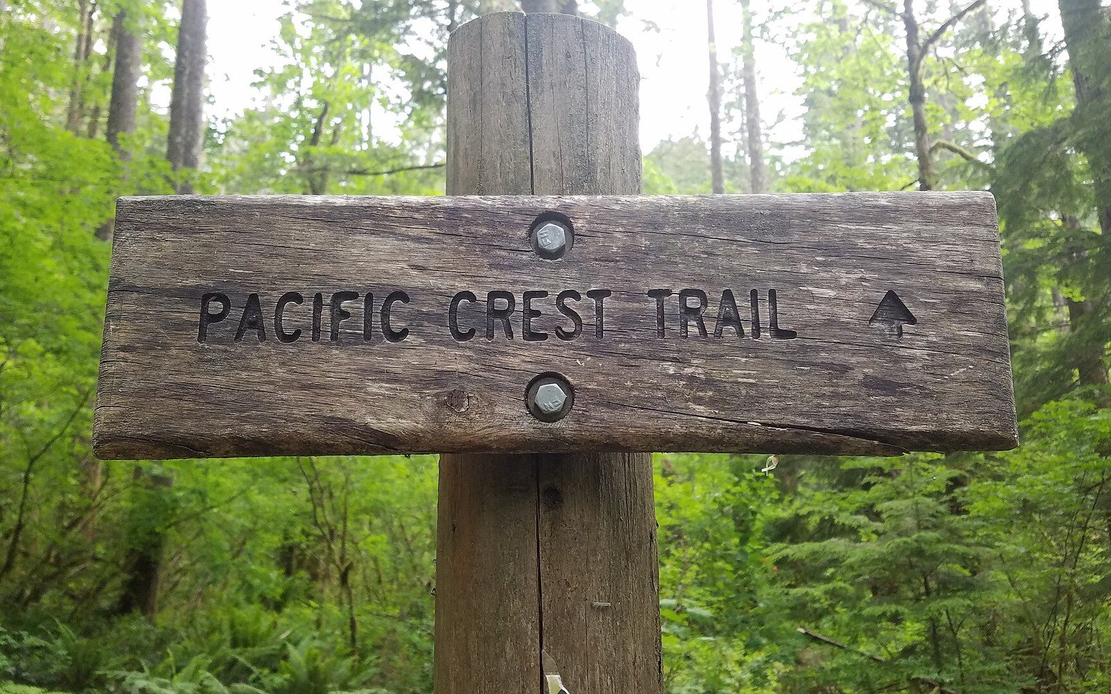
A Pacific Crest Trail sign in the Columbia River Gorge National Scenic Area. Discussed in Numbering a route so it can be described.
Photo: Pacific Crest Trail sign in Columbia River Gorge National Scenic Area · Wikimedia Commons
The mark itself
- Size
- 2 inches wide, 6 inches tall
- Colour
- white for main trail; blue for side trails to shelters and water
- Double blaze
- upper rectangle offset left or right signals a turn in that direction
- Spacing
- close enough that one is visible from the last; tighter near junctions or complex terrain
- Substrate
- bark on trees; cairn or post above treeline or in open ground
More in How a route tells you where it goes