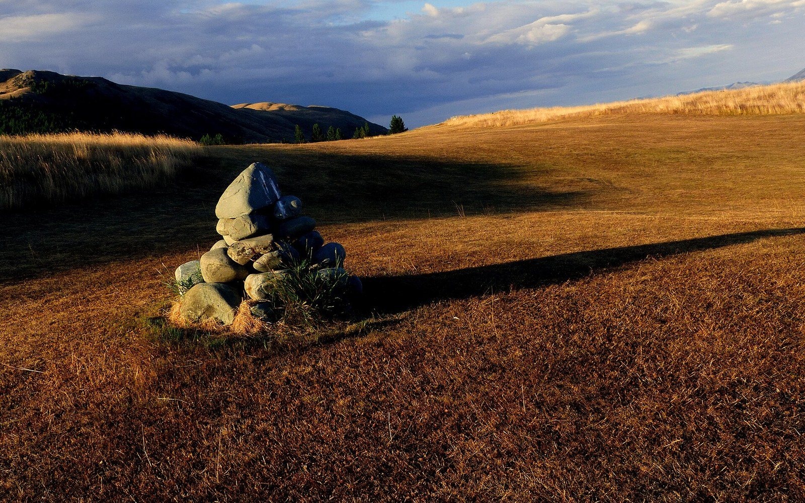
The cairn as maintained structure
Below the treeline, a blaze — two inches by six of paint on bark or rock — is cheap to place and cheap to refresh. Above it, there is no bark, ultraviolet degrades paint faster on bare stone, and a post driven into thin soil lasts perhaps a season before frost-heave pulls it loose. The cairn, a stacked-stone marker whose name comes from the Scottish Gaelic càrn, is the solution that has outlasted every alternative in exposed terrain.
The word implies informality — a pile left by a passing walker — but the cairns that hold a route together above the treeline are a different thing entirely. On the GR20 in Corsica, one of the most technically demanding long routes in Europe, the route crosses extended stretches of granite above 2,000 metres where no other marking survives. The cairns there are substantial, maintained by the Parc Naturel Régional de Corse, and deliberately built to be visible in mist as well as clear conditions — height and profile are as deliberate as any painted symbol.
The same logic governs maintained cairns on the Kungsleden in northern Sweden and on high sections of the Appalachian Trail above the treeline in New England's Presidential Range. These are not folk monuments but managed infrastructure: the relevant managing body determines standard height, typical spacing, and which stones are keyed rather than simply stacked, so the structure sheds wind-load rather than collapsing into it.
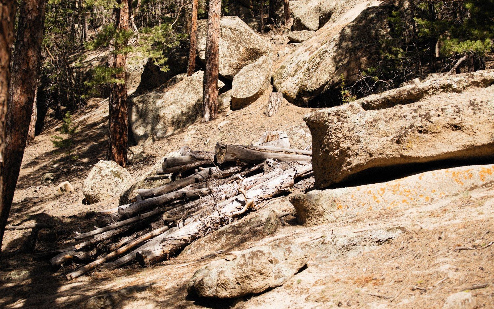
A cut trail bench on a steep slope.
Photo: Alexey Demidov / Pexels
That distinction — keyed versus stacked — matters because a knocked-over cairn in a whiteout is a navigation failure. Unauthorised cairns, built by well-meaning walkers in already-marked terrain, are routinely dismantled by trail managers for the same reason: surplus markers confuse a system that only works when every stone means this way.
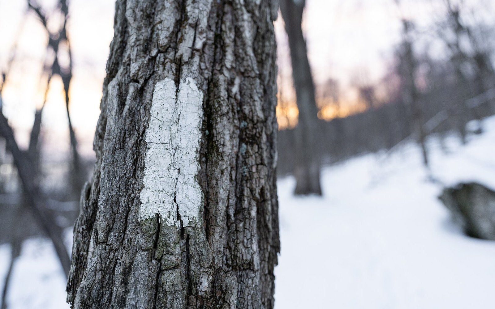
An Appalachian Trail white blaze in winter. Discussed in Two inches by six, painted on a tree.
Photo: Appalachian Trail Blaze · Wikimedia Commons
Chronology and context
- Scottish Gaelic càrnthe linguistic root of "cairn"; common in Scottish and Irish highland place-names
- GR20, Corsicacairns maintained by Parc Naturel Régional de Corse above 2,000 m
- Kungsleden, Swedencairned high-route sections managed by the Swedish Tourist Association (STF)
- Appalachian Trail Presidential Range, New Hampshireabove-treeline cairned sections managed under the AT Comprehensive Management Plan
On the GR20 in Corsica, one of the most technically demanding long routes in Europe, the route crosses extended stretches of granite above 2,000 metres where no other marking survives.
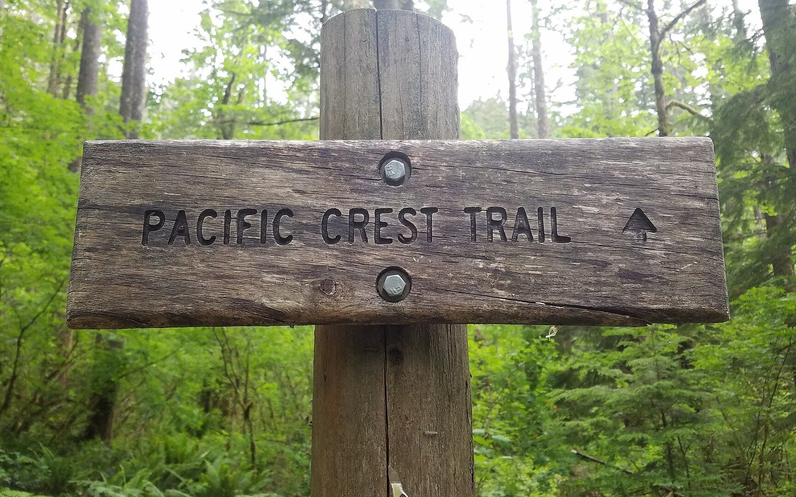
A Pacific Crest Trail sign in the Columbia River Gorge National Scenic Area. Discussed in Numbering a route so it can be described.
Photo: Pacific Crest Trail sign in Columbia River Gorge National Scenic Area · Wikimedia Commons
Key distinction
- Keyed cairn
- stones interlocked so the structure resists lateral wind-load; a managed, built marker
- Stacked cairn
- stones placed without interlocking; informal, less stable, often removed by trail managers in already-marked terrain
More in How a route tells you where it goes