The problem with "somewhere on the trail"
Before routes were numbered and measured, a report of damage or a rescue request arrived as a description: "past the second stream crossing, below the ridge." That is fine for two people who know the ground. It is useless for a crew dispatched from a road-head forty miles away, and worse than useless for a land manager trying to log a maintenance record against a map. The milepost, the section number and the named waymark all solve the same problem — they create a shared coordinate system that anyone can use without being local.
The Appalachian Trail Conservancy established mileposts and a cumulative-mileage table that lets a trail register, a maintenance report and a rescue callout all reference the same point. The current AT guidebooks publish shelter locations and road crossings as cumulative northbound miles from Springer Mountain, Georgia — a figure that is revised whenever a reroute changes the measured distance. Without that anchor, every published shelter distance would drift from reality quietly and at different rates in different books.

An Appalachian Trail white blaze in winter. Discussed in Two inches by six, painted on a tree.
Photo: Appalachian Trail Blaze · Wikimedia Commons
How numbering serves management
The practical weight of this falls on volunteers. The Appalachian Trail Conservancy divides the roughly 2,190 miles of trail (as measured in recent surveys) into sections assigned to maintaining clubs, each referenced by a number that appears in work records. A crew leader filing a report after clearing blowdowns notes the section number, not a narrative description. That number ties the report to the same segment in the GIS layer, the budget line and the volunteer hours log. The section is the atom of trail administration.
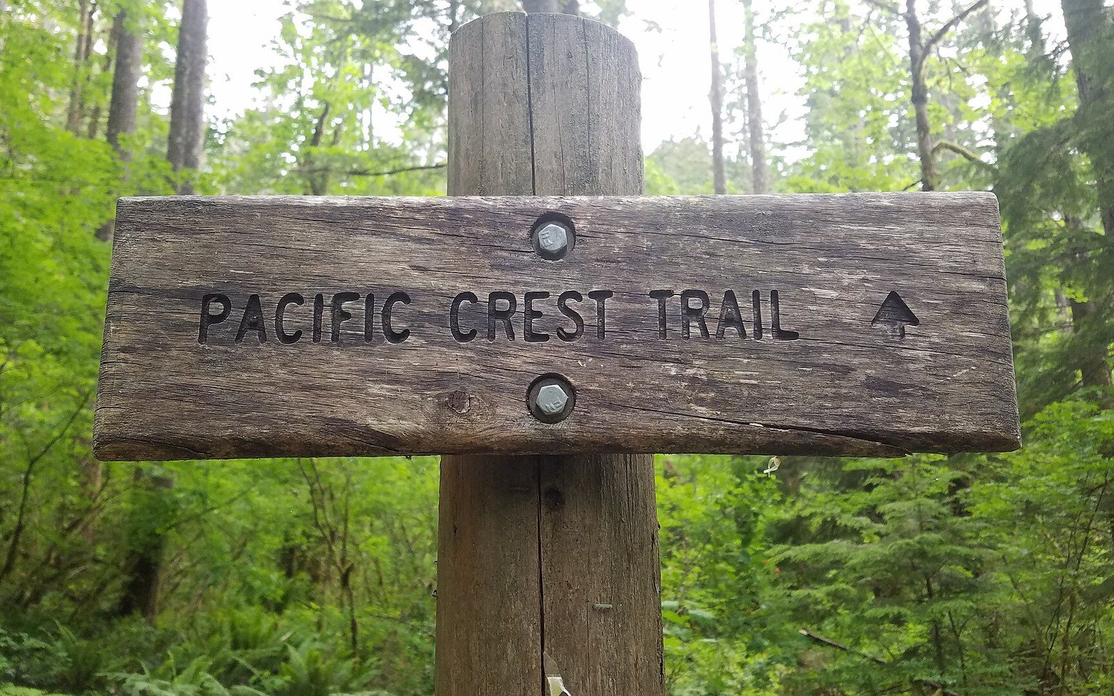
The Pacific Crest Trail uses a similar scheme. The Pacific Crest Trail Association publishes the route in numbered segments with waypoint mileages, so that fire closures, water reports and trail damage can be communicated by segment rather than by improvised landmark. When a closure covers PCT miles 702 through 741, every user and crew knows exactly what that means. The number does the work that prose cannot.
Chronology
- AT milepost systemformalised progressively by the ATC as the trail was completed; cumulative northbound mileage from Springer Mountain, Georgia
- Earl Shaffer's 1948 thru-hikefirst verified end-to-end walk, register-based verification
- GR numberingFrench grandes randonnées network developed from the 1940s onward; GR20 completed 1972
- Camino Francés kilometre stonesmedieval route, kilometre markers a later formalisation; count down to Santiago de Compostela
Waymarks as numbered infrastructure
The European GR network takes a different approach but pursues the same logic. GR routes — grandes randonnées, long-distance footpaths — are identified by number rather than name. The GR20 across Corsica is not described by geography alone; its stages are numbered, and waymarks are standardised in design and placement so that maintenance records can specify which post on which numbered stage has failed. A waymark is numbered infrastructure, not decoration.
The Camino de Santiago solves the same problem with accumulated historic convention rather than a planned numbering scheme: its kilometre stones on the Camino Francés count down to Santiago de Compostela, providing an absolute reference that pilgrims, hospitaleros and civil authorities now rely on. The logic is counting rather than naming — and counting is unambiguous.
Modern GPS tracks generate their own dense coordinate systems, but they depend on the same underlying logic: a position is only meaningful when it can be compared to a fixed reference.
What records require
A trail register records entries against time and location. For that to be useful — for a search party to establish when a party last signed in, or for a completion claim to be verified — the register must be tied to a fixed, labelled point on the route. A shelter name is better than nothing; a shelter name plus a cumulative mileage is a proper coordinate. When Earl Shaffer completed the Appalachian Trail in 1948, the verification of his walk rested partly on signed registers at named and located shelters. The location of those registers was what made the evidence legible.
Modern GPS tracks generate their own dense coordinate systems, but they depend on the same underlying logic: a position is only meaningful when it can be compared to a fixed reference. The milepost and the section number are that reference, agreed in advance, printed in guidebooks and filed in maintenance databases. They are the reason a trail can be discussed by people who are not standing on it — which is, in the end, the condition for managing it at all.

A stone cairn on open ground. Discussed in Stacked stone above the treeline.
Photo: The Stone Cairn. · Wikimedia Commons
Concepts in brief
- Cumulative mileage
- total distance measured from a fixed terminus, revised after reroutes
- Section number
- the administrative atom of trail maintenance, linking field records to maps and budgets
- Trail register
- sign-in log at a fixed, located point; useful for rescue and record verification only when the point is precisely referenced

A cut trail bench on a steep slope.
Photo: Alexey Demidov / Pexels
More in How a route tells you where it goes